Expedition Capabilities
Comprehensive telemetry, navigation, and environmental monitoring in a single lightweight package.
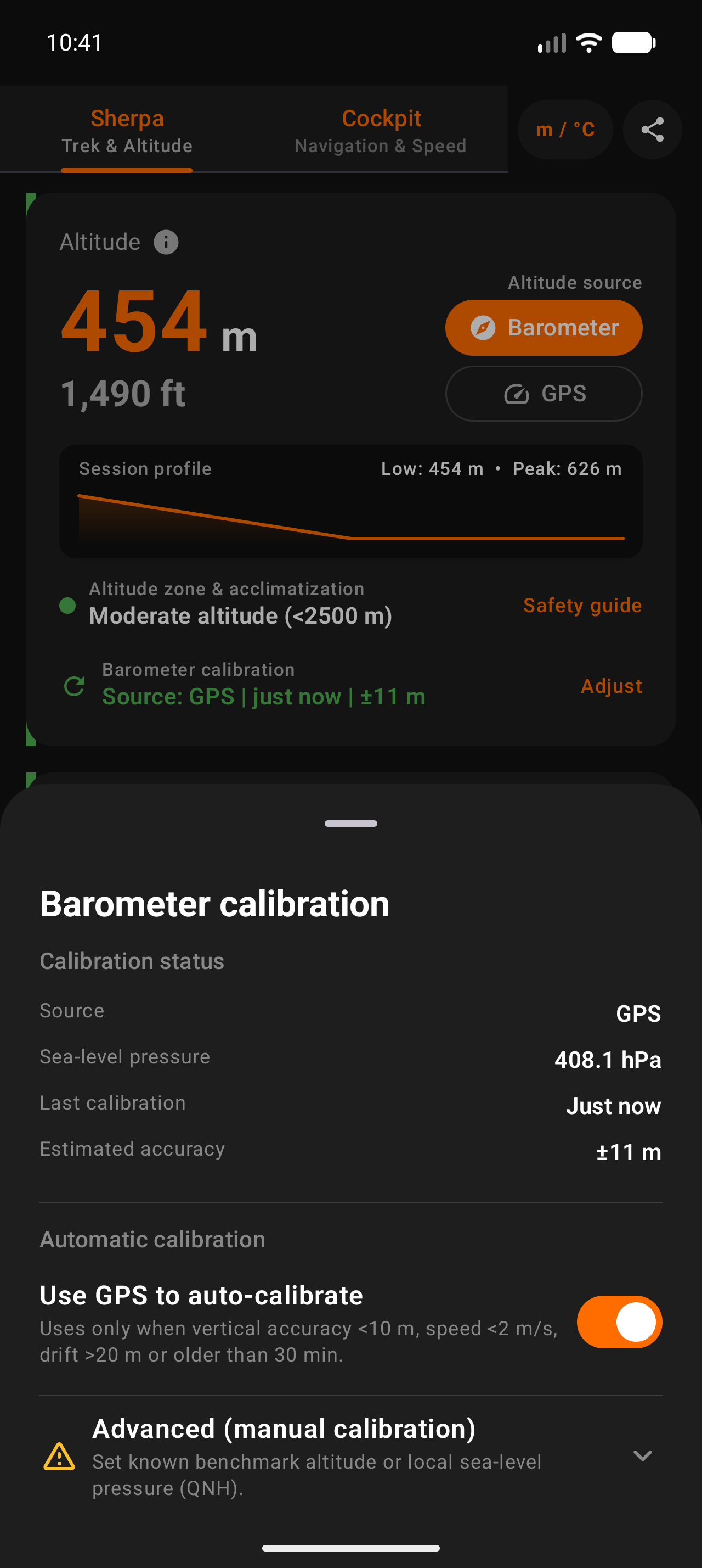
Dual GPS & Barometer Fusion
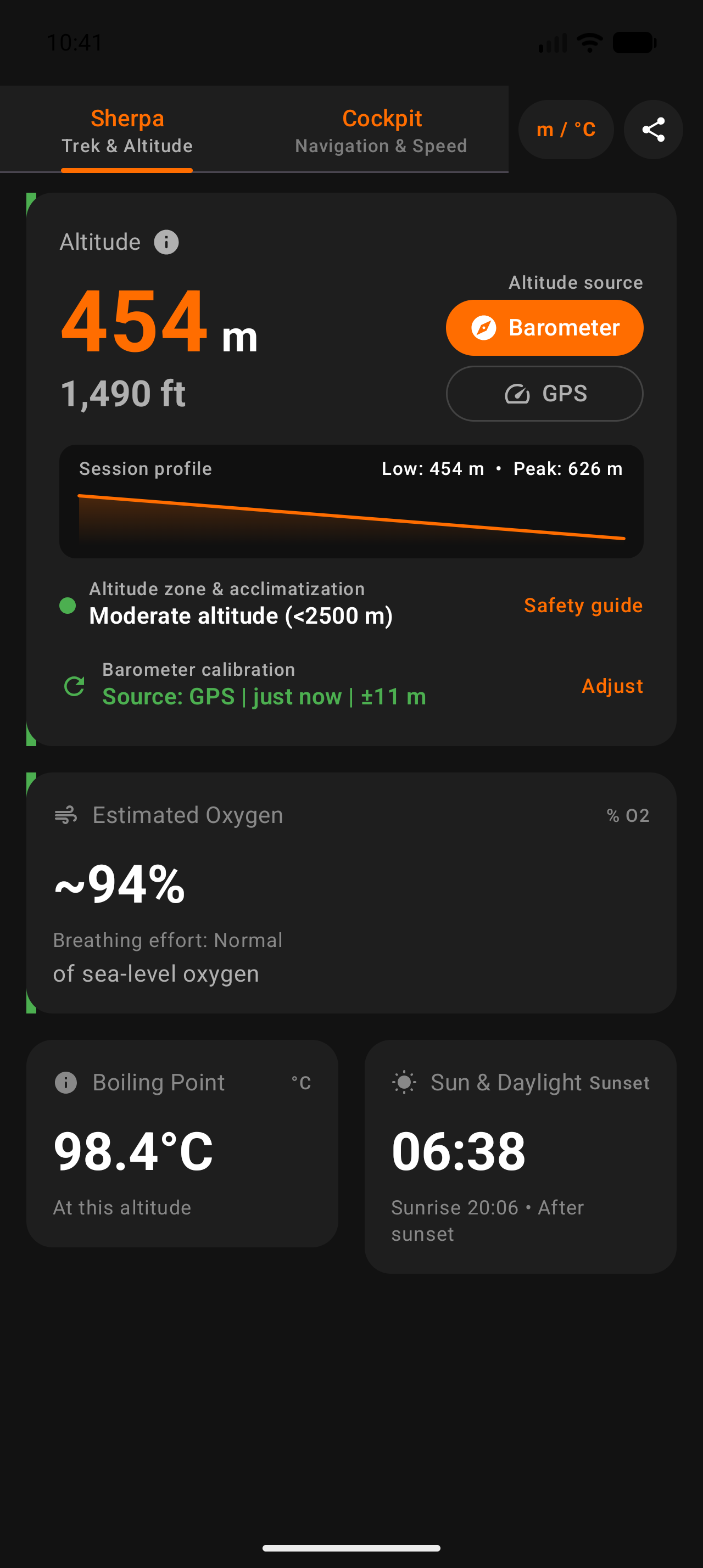
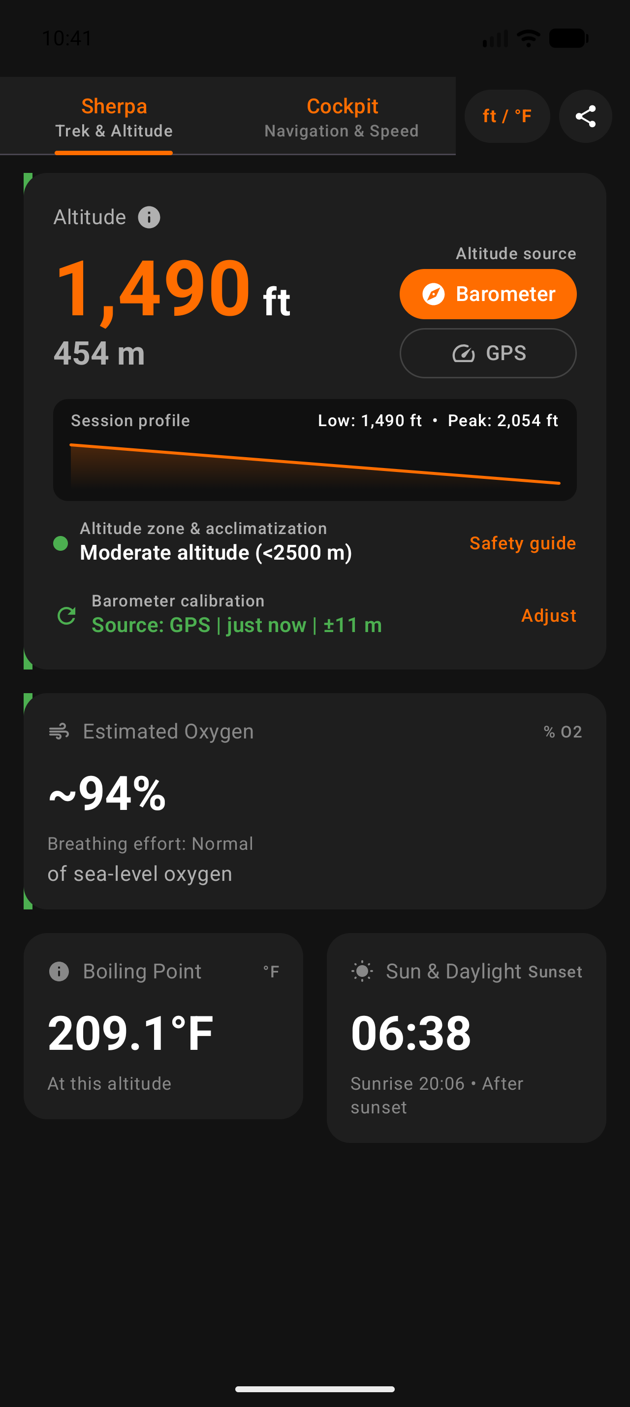
Uses the international standard ICAO atmospheric formula with sea-level baseline pressure (P0) calibration alongside EGM geoid-corrected GPS elevation for accurate readings in any terrain.
Expedition Trek Recorder & GPX
Record hikes with cumulative climb, descent, distance, and duration. Inspect interactive touch elevation profiles and export standard GPX 1.1 tracks to Strava, Garmin Connect, or Komoot.
Severe Storm Watch & Alarm
Monitors sea-level reduced barometric pressure in the background to detect rapid 3-hour plunges preceding mountain squalls and gale fronts, sounding an alert before conditions deteriorate.
Cockpit Compass & Waypoint Bug
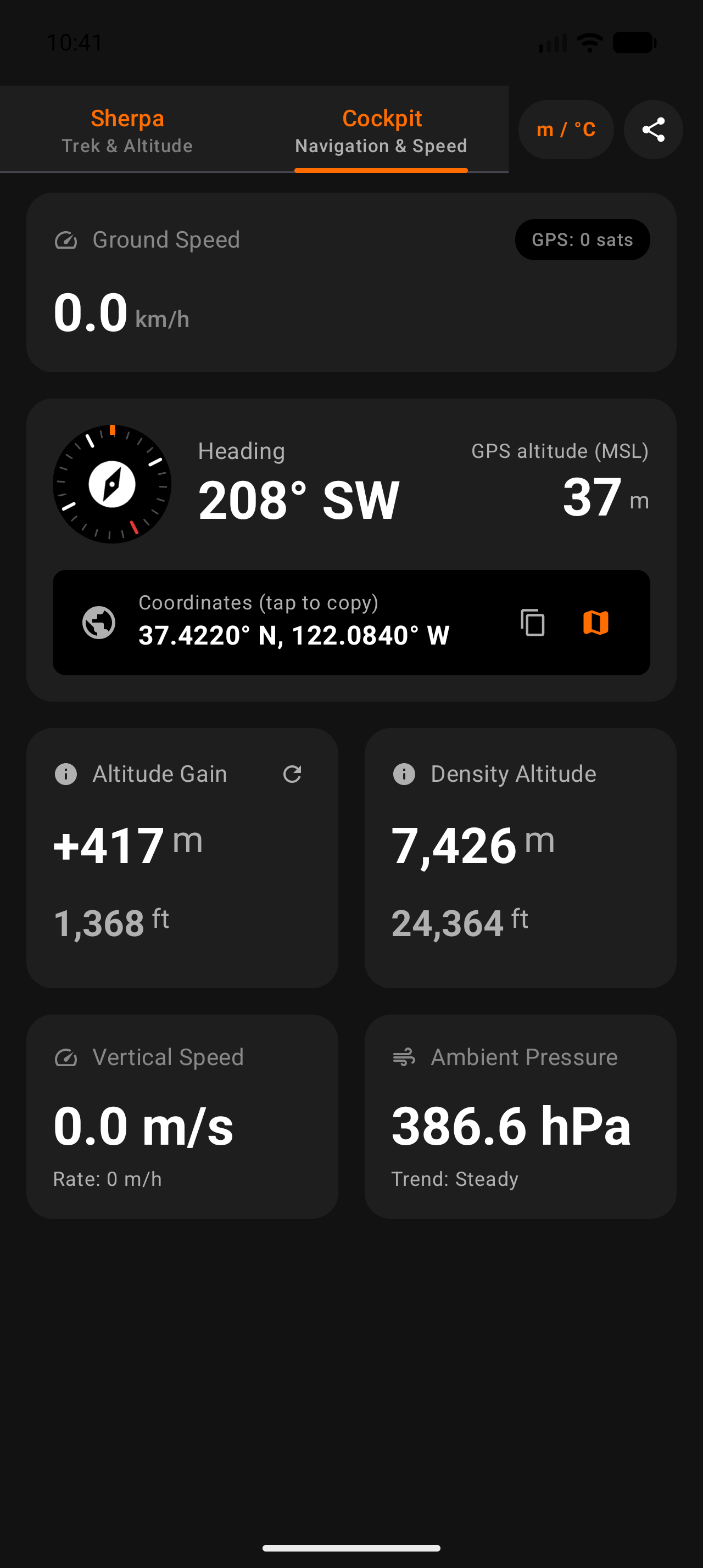
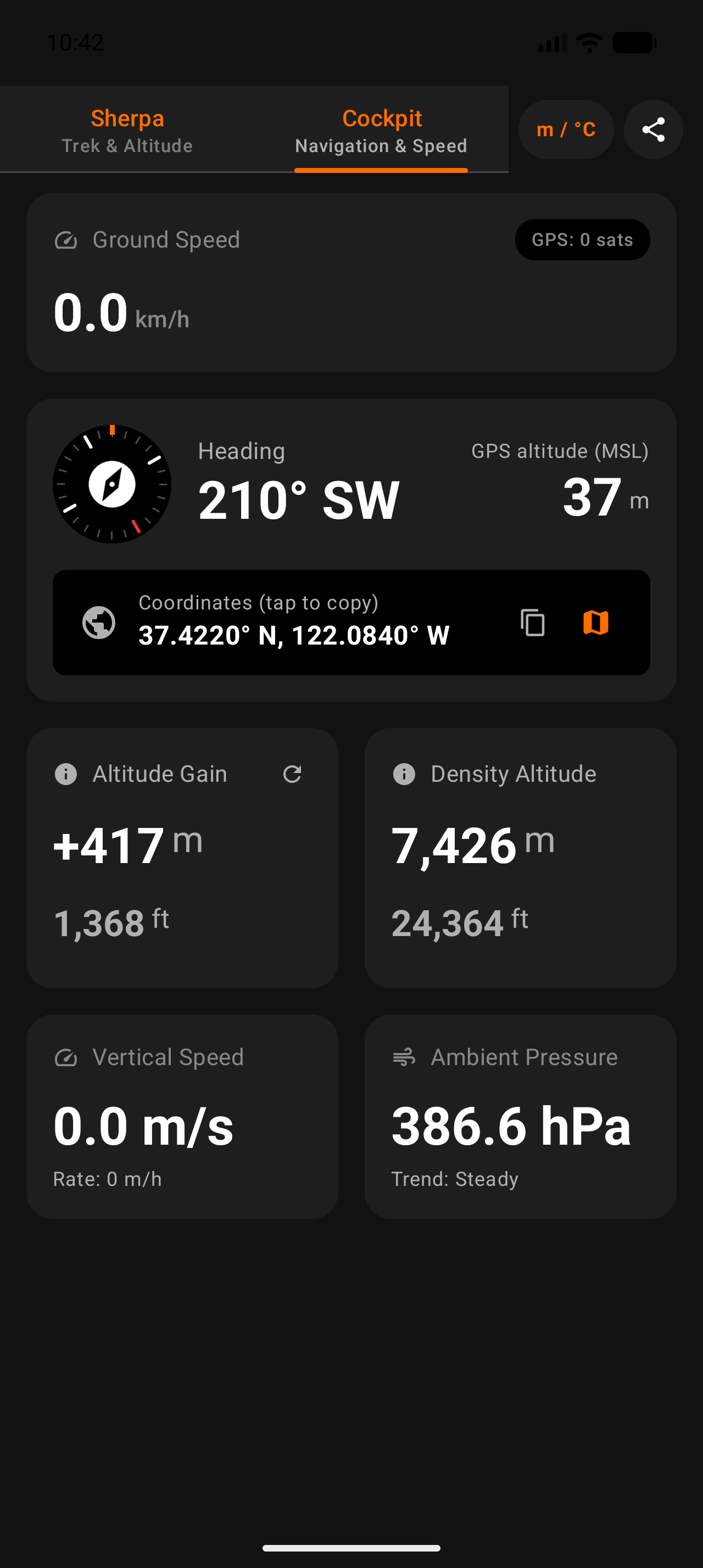
Smooth rotating compass dial with degree heading, true north declination, and target waypoint bearing bugs (Camp, Trailhead, Water, Summit) plus 1-tap "Backtrack to Start" guidance.
Summit Cam Photo Watermarker
Capture mountain moments with a stamped HUD overlay featuring exact altitude, coordinates, compass azimuth, and timestamp ready to share or save to your camera roll.
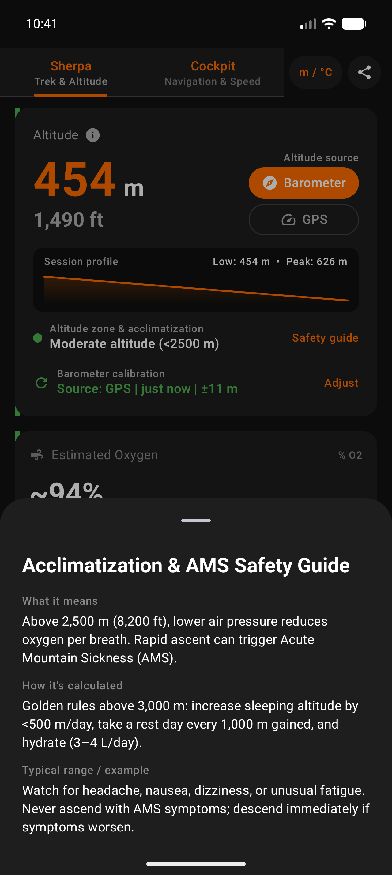
Effective Oxygen & AMS Safety
Real-time effective oxygen availability relative to sea level, breathing effort indicators, and a built-in Acute Mountain Sickness safety guide to help pace your alpine ascent.
Offline NOAA Solar Times
NOAA solar algorithm computes accurate local sunrise, sunset, and remaining daylight hours for your exact coordinates completely offline, so you never get caught on the trail after dark.
100% Private On-Device Storage
Your routes, waypoints, and telemetry are stored in an on-device Room database excluded from cloud backups. Zero telemetry or personal data is ever transmitted to external servers.